
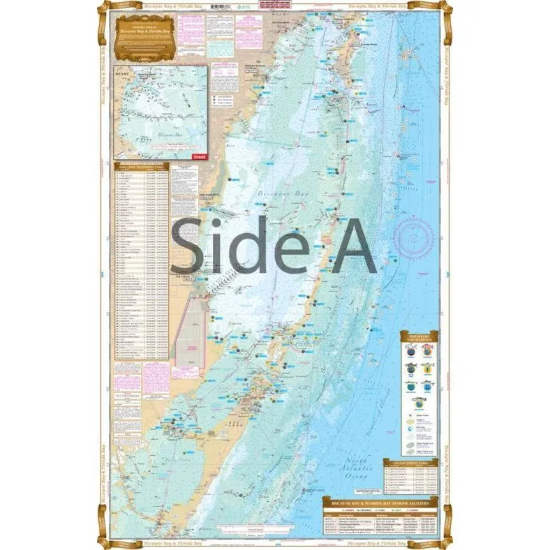

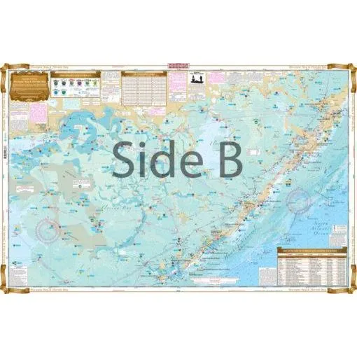
Most details of water proof chart for fishing.
Show all local fishing spot.
Marina, Boat Ramps, Marsh area
Restaurants, GPS Positions
NOAA resource
Easy to read, carry and see the spot right there.
Size: 25" x 38"
| Chart # | Fishing Zone | FL | Location |
| 33F | Inshore | SE | Biscayne Bay to Florida Bay |
| 34F | Inshore | SE | Florida Middle Keys |
| 110F | Inshore | SE | Key West & Lower Keys |


")
